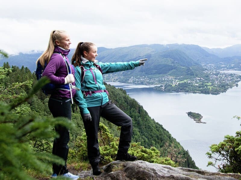
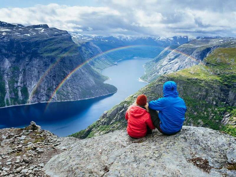
The Sognefjord is often called "The King of fjords" and extends 204 km (127 miles) inland, has a maximum depth of 1,308 meters and the mountains surrounding the fjord tower to heights of 2,000 meters. The inner end of the Sognefjord is covered by Jostedalsbreen, the biggest glacier in continental Europe.
This region where the Sognefjord meets the glaciers and Norway’s highest mountains is considered one of the world's most beautiful travel destinations. The glaciers on the top of the mountains, down the steep mountainsides to green farmland and deep fjords will definitely make a lasting impression.
The Sognefjord area includes the municipalities of Aurland, Balestrand, Høyanger, Leikanger, Luster, Lærdal, Sogndal, Vik and Årdal. The Sognefjord consists of the fjord arms Fjærlandsfjord, Aurlandsfjord, Nærøyfjord, Lærdalsfjord, Sogndalsfjord, Årdalsfjord and Lustrafjord in addition to the Sognefjord itself, which is the main fjord.
Sognefjord was created by the Ice Age and the subsequent climate changes. As the continental ice of the area melted, the landscape we see today was created - high mountains and deep valleys. Eventually the areas along the fjords and mountains became inhabited by people who lived off farming the land. Now in a more modern context, the Sognefjord area is better known as an area which attracts visitors from all over the world, with its thriving tourism industry. Other industries in the area include juice and jam production, metals, technology, energy, science and IT.
Facts about the Sognefjord:
- Norway’s longest and deepest fjord
- 1,308 m deep
- 204 km long
- The second longest fjord in the world
- One of the world's most beautiful travel destinations
- The inner end of the Sognefjord is covered by Jostedalsbreen
- The Nærøyfjord is an arm of the Sognefjord and is included on Unesco´s World Heritage List


